
Tucson Extreme Heat Warning & Flash Flood Watch Guide

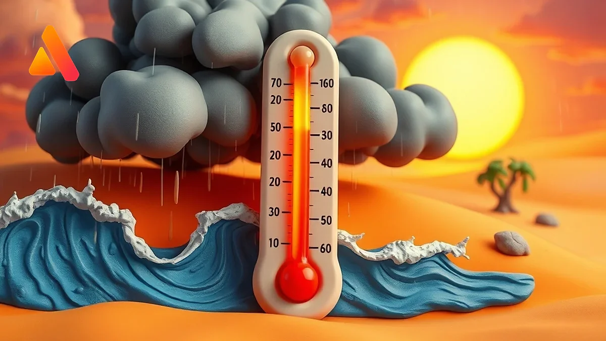
Tucson and Southeast Arizona Face Volatile Weather Patterns
Residents of Tucson and the surrounding southeast Arizona regions are currently navigating a dangerous and volatile weather pattern. The region is simultaneously battling a severe heatwave and the unpredictable nature of the North American Monsoon, leading to a combination of Extreme Heat Warnings and Flash Flood Watches. This atmospheric duality creates a high-risk environment where extreme daytime temperatures are followed by sudden, violent thunderstorms capable of producing life-threatening flooding.
Local authorities, including the National Weather Service (NWS) and regional meteorological services, have issued several critical alerts. The primary goal of these warnings is to ensure that residents and visitors are aware of the rapidly shifting conditions and can take the necessary precautions to protect their health and property.
Understanding the "First Alert Weather Day"
The region has entered a multi-day "First Alert Weather Day" period. This specific designation is used by local broadcasters and meteorologists to signal that weather conditions have reached a threshold where they may pose a significant threat to life and property. In the current scenario, this alert is driven by a persistent Extreme Heat Warning.
Temperatures across Tucson and Pima County have surged 10 to 15 degrees above the seasonal average. According to reports from KOLD News 13, these near-record temperatures are not isolated incidents but part of a broader heat dome affecting the Southwest. These oppressive temperatures are expected to persist through the weekend, with only a marginal cool-down anticipated early next week. For many, this means the heat index—which combines air temperature and humidity—will feel even more intense, increasing the risk of heat-related illnesses.
The Physiology of Extreme Heat and Safety Measures
When temperatures consistently exceed 105 to 110 degrees Fahrenheit, the human body struggles to cool itself through perspiration, especially if humidity levels rise during the monsoon season. This can lead to heat exhaustion and heatstroke, both of which are medical emergencies.
To stay safe during this Extreme Heat Warning, residents are urged to follow these critical guidelines:
- Hydration: Drink plenty of water regardless of whether you feel thirsty. Avoid sugary or caffeinated drinks that can contribute to dehydration.
- Timing Activities: Schedule outdoor work or exercise for the early morning or late evening hours when temperatures are at their lowest.
- Seeking Shade: Utilize air-conditioned spaces or designated cooling centers provided by the city.
- Vulnerable Populations: Check on elderly neighbors and ensure that pets have access to shade and plenty of fresh water. Never leave children or pets in a parked car, as interior temperatures can reach lethal levels within minutes.
Flash Flood Risks: The Monsoon Paradox
While the heat is oppressive, the atmospheric instability created by the heat often sparks the very storms that lead to flash flooding. The National Weather Service has issued a Flash Flood Watch for a wide swath of the region, including most of Pima County, extreme southwest Pinal County, Santa Cruz County, extreme southwest Graham County, and western Cochise County.
A Flash Flood Watch is different from a Warning; it means that conditions are favorable for flooding to occur. However, when a Flash Flood Warning is issued, it means flooding is imminent or occurring. These storms are often characterized by "cell" activity—intense bursts of rain that fall over a small area in a short amount of time, overwhelming drainage systems and natural washes.
The probability of precipitation varies across forecast models, with some indicating a 40% to 50% chance of thunderstorms during the evening hours. Specifically, storm activity has been noted to peak around 5:45 PM, though this can shift. These storms are not merely rain events; they often carry strong downdrafts and the potential for microbursts.
The Danger of Blowing Dust and Low Visibility
Accompanying the heat and rain is the frequent occurrence of blowing dust. A Blowing Dust Advisory is often in effect alongside flood watches. In the arid environment of Southern Arizona, strong storm winds can pick up loose soil and sand, creating "haboobs" or massive walls of dust that reduce visibility to near zero.
For drivers on the I-10 or other major arteries, this presents a severe hazard. If you encounter a dust storm while driving:
- Pull Aside: Get off the road and away from traffic.
- Turn Off Lights: Turn off your headlights and taillights so other drivers do not mistakenly follow you off the road.
- Stay Put: Remain in your vehicle until visibility improves.
Detailed Atmospheric Outlook and Wind Patterns
The current atmospheric profile shows a mix of light to moderate wind patterns. Forecasts indicate west winds between 5 to 10 mph, while other data suggests southwest winds of 5 to 7 mph that typically become calm after midnight. Despite the wind, the sky is expected to remain mostly cloudy, which can sometimes trap heat near the surface, preventing the nighttime temperature from dropping significantly.
Nighttime lows are expected to range between 72 and 78 degrees. When nighttime temperatures remain this high, the body cannot recover from the daytime heat stress, which compounds the risk of heatstroke over a multi-day period.
Preparing Your Home for Volatile Weather
To mitigate the risks associated with both extreme heat and flash floods, homeowners should take the following proactive steps:
"Preparation is the best defense against the volatility of the Arizona monsoon season. From clearing drainage paths to optimizing home cooling, small steps can prevent major disasters."
- Clear Gutters and Drains: Ensure that debris from the dry season is cleared so that sudden heavy rains can flow away from the foundation of your home.
- Check HVAC Systems: Ensure air conditioning units are serviced and filters are clean to maximize efficiency during record-breaking heat.
- Emergency Kits: Maintain a kit with flashlights, batteries, and a first-aid kit in case of power outages caused by lightning strikes or fallen trees.
- Avoid Washes: Never attempt to drive or walk through a dry wash during a storm. Flash floods can move debris and water rapidly, sweeping away vehicles in seconds.
Summary of Current Alerts
In summary, the Tucson area is currently dealing with a complex set of weather threats. The Extreme Heat Warning demands caution regarding hydration and exposure, while the Flash Flood Watch requires vigilance during the late afternoon and evening hours. By staying informed through the National Weather Service and local news outlets like KVOA and KOLD, residents can navigate these conditions safely.
Relevant solution
Website Development
Custom website development — fast, modern, ready to sell.
Related Articles
Tucson Monsoon Season 2026: Forecasts, Rain & Safety Tips
Tucson's 2026 monsoon season has arrived with record-breaking rain and intense thunderstorms. Discover the latest forecasts, safety tips, and weather patterns for Southern Arizona.

CPU Fujitsu MONAKA: Revolusi Sovereign AI dari Jepang
Fujitsu memperkenalkan CPU FUJITSU-MONAKA dan Server MONAKA untuk memperkuat kedaulatan AI Jepang. Temukan detail rencana fabrikasi 1,4nm dan target pasar globalnya di sini.

Texas Rangers 2026 Guide: Highlights, Theme Nights & News
Explore the Texas Rangers' 2026 season, featuring Jacob deGrom's pitching dominance and a historic promotional calendar. From Negro League tributes to the state-of-the-art Globe Life Field, discover how the Rangers are blending victory with community.

James Wehr & Lexi Kramer Die in Fiery Irvine McLaren Crash
Car influencer James Wehr and model Lexi Kramer were killed in a fiery 2019 McLaren crash in Irvine. While tributes pour in, conflicting reports emerge regarding Wehr's marriage and personal life.
Dapatkan Artikel Terbaru!
Berlangganan newsletter kami untuk mendapatkan tips dan insight menarik langsung ke inbox Anda.
Kami tidak akan pernah membagikan email Anda (No Spam).